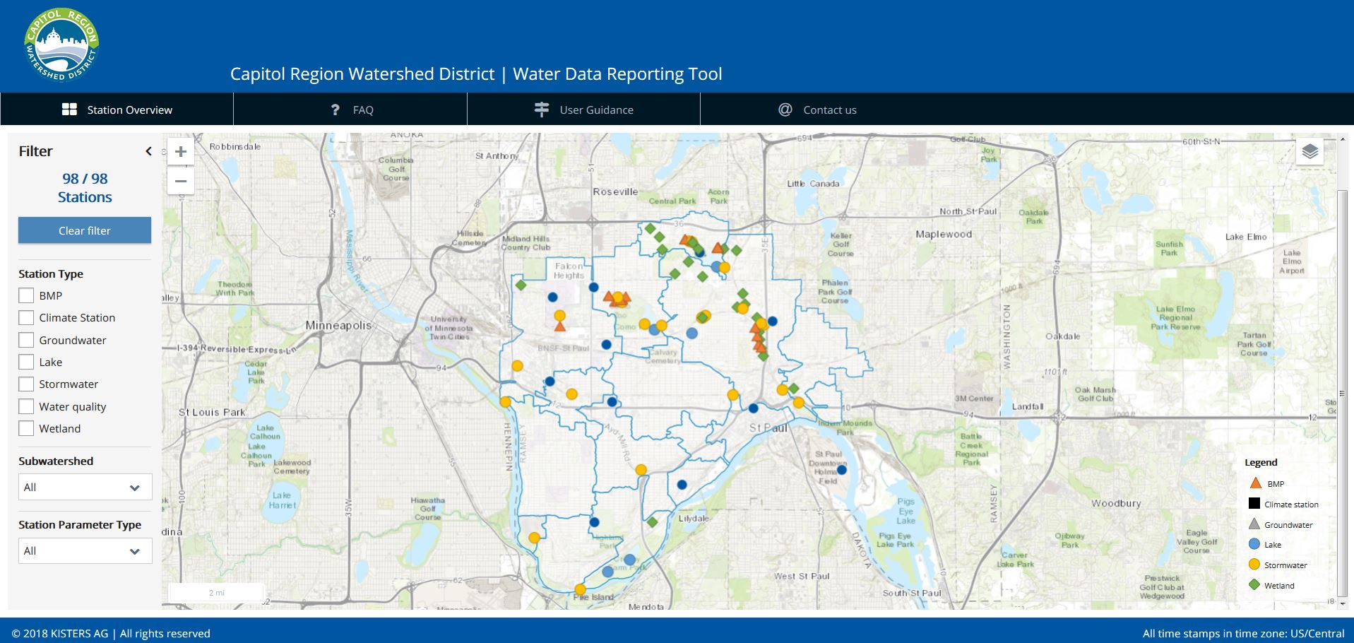
CRWD collects data from water quality monitoring stations to better understand the District’s water resources, including long-term trends in water quality or the performance of CRWD BMP projects.
The types of data CRWD gathers includes:
- Continuous flow data in storm sewers, stream channels, and BMPs;
- Water quality data in storm sewers, streams, BMPs, lakes, and wetlands;
- Continuous level data in lakes, stormwater ponds, and BMPs; and,
- Precipitation data from rain gauges.
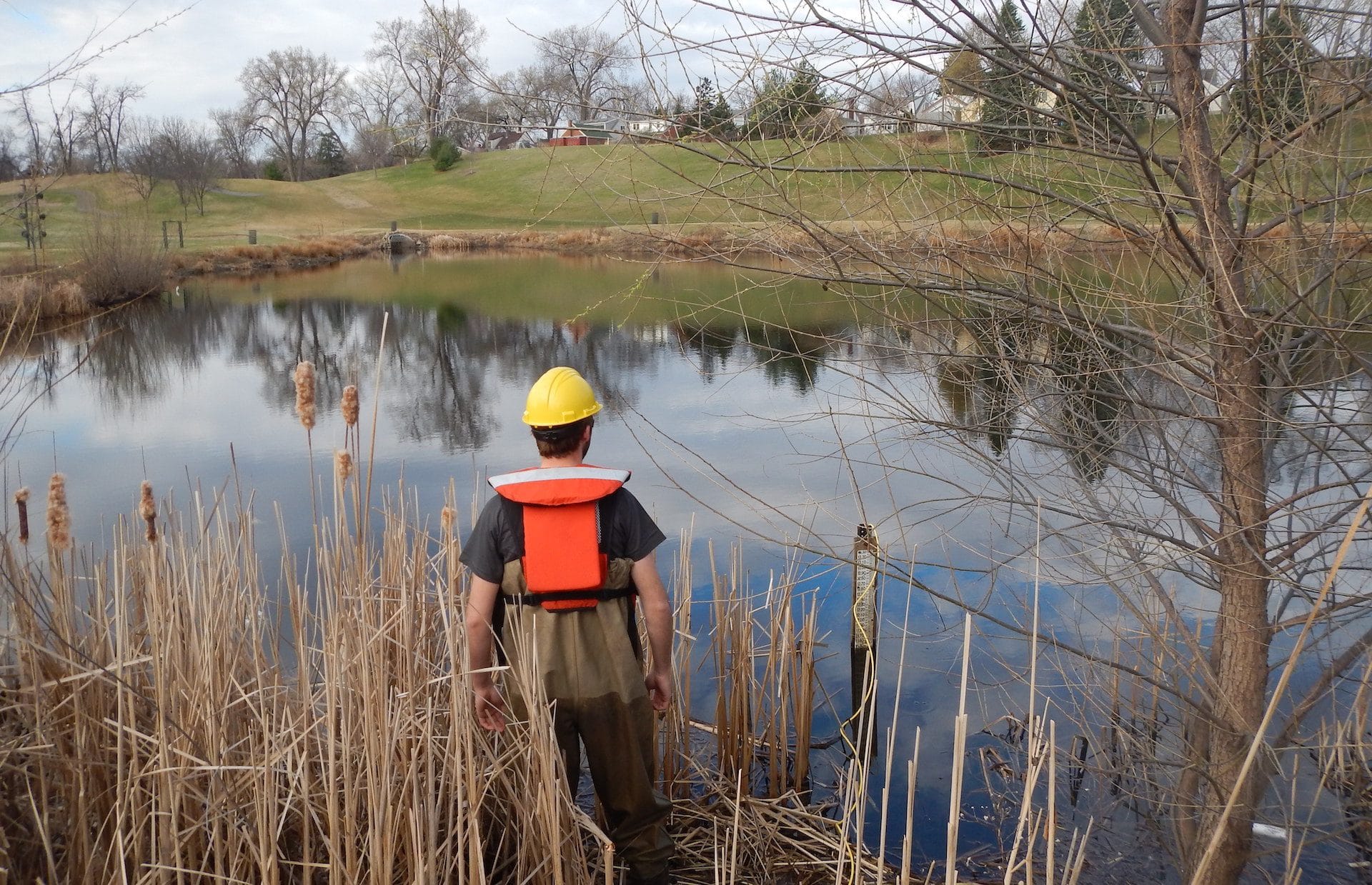
CRWD staff is responsible for all monitoring program operations and quality assurance measures. District staff install, operate and maintain monitoring equipment at each of the monitoring stations, collect water quality samples, download continuous data, and manage project-specific monitoring planning.